Trails To Rails
I have been making Google Earth projects for me or others to use for a while now. I feel like there are enough to crate a small trekker's map. Most are short spur trails off of parking lots or official trails and parks. If I make more map projects I will link them below for you or others to use to watch trains.
Project 1 :
Places You Can Visit:
- Horse Shoe Curve - Access trails on both sides, connecting to Allegrippus Curve, Bennington Curve, and Tunnel Hill.
- Staple Bend Bridges - C&BL and NS routes.
- Johnstown Bridge - Visit the site of the Rolling Mill mine disaster.
- Van Meter - Explore the Darr Mine disaster site and Banning Mine, plus the W&LE Banning overlook.
- Lick Run & Peters Creek trails - AVR & W&LE
- W&LE Ravensburg (Clairton) Tunnel.
Project 2 :
Locations Included:
- Bethel Park Greens
- Jacob's Creek Viaduct and Tunnel
- Munhall Hot Metal Bridge
- Whitehall Tunnel
- Conemaugh Viaduct
https://earth.google.com/earth/d/13hQWbsHP0V4HAn_RWM-kJudMdobtReGr?usp=sharing
Project 3 :
Locations Include;
-
- AVR Thomas Tunnel
- B&LE Harmarville
- B&LE North Bessemer
- URR Dravosburg Tunnel
- Oil City NYC Tunnel
- URR Irvin Cemetery
- Mongah Mine Entrance
- W&LE Matt Branch
- W&LE Bridges at Mingo, Sudan, and Connellsville
- Rt 376 Drone Takeoff Spot
https://earth.google.com/earth/d/1Bw3xV1E8SkCJbKgEfZugiCdF0W2GmRrs?usp=sharing
Explore the destinations accessible through the trails mapped in the Google Earth documents linked above.


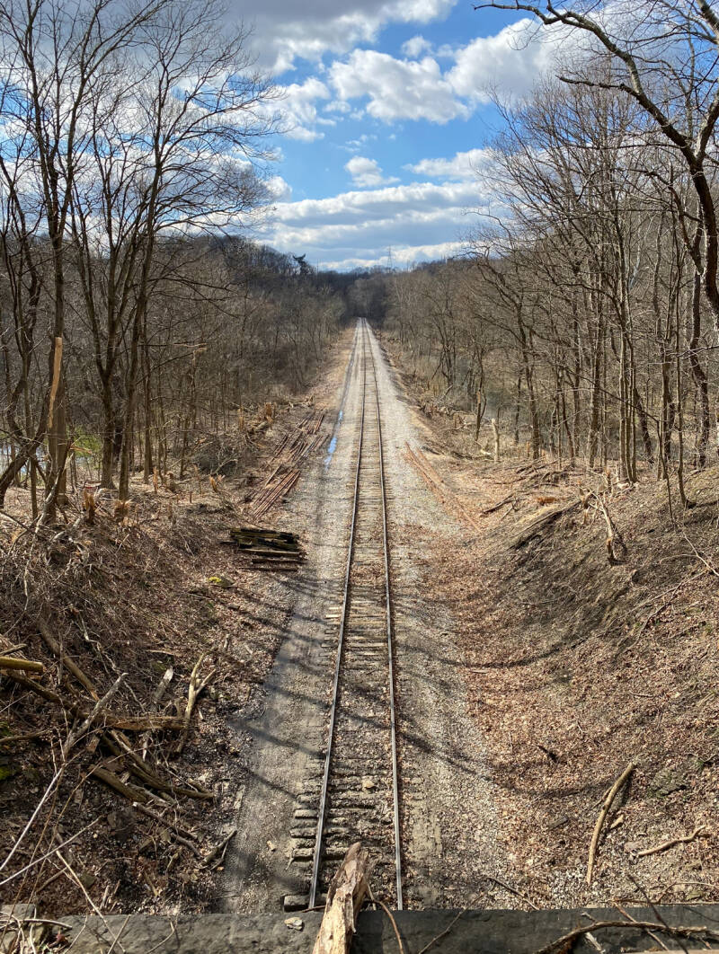


Railroad Spots I Highly Reccomend
Here are my absolute favorite spots to go to and explore, and I have personally been to each and every one of these places myself. I assure you, I would never recommend them unless I was completely confident that they are both safe to visit and relatively easy to navigate while being enjoyable.
- Alto Tower 17th street Bridge Altoona Pa.
- Age of Steam Roundhouses in Scranton Pa and Sugar Creek Ohio.
- Bennington's Curve + east side of Gallitzen Tunnels outside Gallitzen Pa on Bird Eye Road.
- Black Hills Central Station, Hill City Sd.
- Conway Yard Piney Street Entrance in Baden Pa.
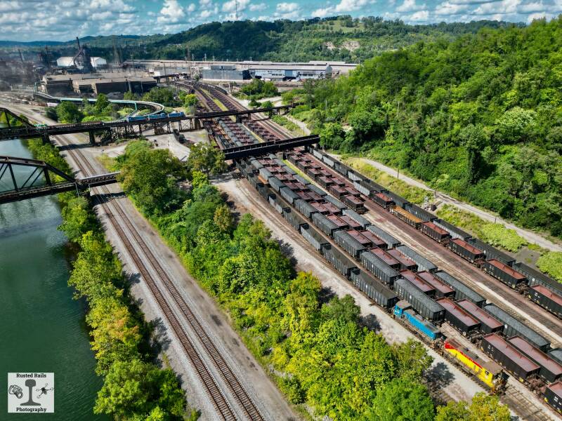
- Edgar Thompson Works Valley Railyard, Braddock Pa.
- Framingham Station, Ma.
- Homestead Amity Street railroad crossing. Homestead Pa.
- Horse Shoe Curve west side spot. Located on a small trail off of Veteran's Memorial Highway to the left side of the road if on is driving up hill.
- Jim Thorpe Station, Jim Thorpe Pa.
- Juniata Locomotive Works Turntable in Altoona Pa.
- Mckeesport Bridge parking lot along the GAP trail at the police station.
- Penn Station New York City.
- Port Clinton Depot & Station, Port Clinton Pa.
- Port Perry bridges and rail lines Duquesne / Braddock area. Best seen from the GAP trail or by drone.
- South Station Boston Ma.
- Thurmond Station Wv.
- Union Station Worcester Ma.
- Western Maryland Scenic Railroad station in Cumberland Md.